Последний отзыв
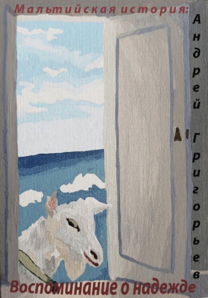
Это скорее приключение, чем история. Но читать приятно.
По всем вопросам обращайтесь на: info@litportal.ru
(©) 2003-2024.
✖


The Automobilist Abroad
Настройки чтения
Размер шрифта
Высота строк
Поля
The Continental Road Book for Great Britain – Published by the Continental Gutta-Percha Co. Excellent information on British roads, distances, hotels, etc., with a general map.
The Automobile Hand Book. – The official year book Automobile Club of Great Britain and Ireland. Contains all the "official" information concerning automobileism in Britain. Rules and regulations, statistics, a few routes and plans of the large towns, and a list of "official" hotels, repairers, etc.
Continental Maps and Road Books
FRANCE
Cartes Taride. – Excellent road maps of all France in 25 sheets can be had everywhere, mounted on paper at 1 franc, cloth 2 fcs. 50 centimes. All good roads marked in red; dangerous hills are marked, also railways. Kilometres are also given between towns en route. The most useful and readable maps published of any country. A. Taride, 20 Boulevard St. Denis, Paris, also publishes The Rhine, North and South Italy, and Switzerland, each at the same price.
Guide Taride (Les Routes de France). – 4,000 itineraries throughout France and 150 itineraries from Paris to foreign cities and towns. Contains notes as to nature of roads, kilometric distances, etc.
L'Annuaire de Route. – The year book of the Automobile Club de France contains hotel, garage, and mècanicien list, charging-stations for electric apparatus and vendors of gasoline.
C. T. C. Road Book of France (in English). – Two volumes of road itineraries and notes.
Cartes de l'Etat Major. – Published by the Service Géographique de l'Armée and sold or furnished by all booksellers. Can best be procured through the Touring Club de France, 65 Ave. de la Grande Armée, Paris. Scale 1-80,000, 30 centimes per sheet. Another scale 1-50,000.
Carte de la Ministre d'Intérieur. – Scale 1-100,000 and 1-80,000.
Printed in three colours.
Carte de France au 200,000 cq. – Published by the Service Géographiqué and reproduced from the 1-80,000 carte by photolithography. Useful, but not so clear as the original.
Cartes du Touring Club de France. – Scale 1-400,000. Indicating all routes with remarks as to their surfaces, hills, culverts, railway crossings, etc. Printed in five colours. 15 sheets, 63 x 90 cm. These cartes lap over somewhat into Germany, Belgium, Italy, and Spain, and are very good.
Le Guide-Michelin – Issued by Michelin et Cie, the tire manufacturers. The most handy and useful hotel and mécanicien list, with kilometric distances between French towns and cities. Many miniature plans of towns and large map of France.
Guide-Routiere Continental. – Issued by the manufacturers of Continental tires. Gives plans of towns and cities, detailed itineraries and hotel lists, etc., throughout France. Equally useful as the Guide-Michelin, but more bulky.
La Carte Bécherel. – Reproduced from that of the Etat Major 1-200,000. Price 2 fcs., 50c.
Cartes de Dion – Excellent four-colour maps of certain sections environing the great cities. Published and sold by De Dion, Bouton et Cie.
Sur Route (Atlas-Guide de Poche pour Cyclistes et Automobilists). – Published by Hatchette & Cie, 3 fcs., 50c. A most useful condensed and abbreviated gazetteer of France, with a series of handy four-colour maps showing main roads sufficiently clearly for real use as an automobile route-book.
Annuaire Général du Touring Club de France – Hotel list, mécaniciens, etc., and prices of same throughout France.
The Touring Club de France also issues an Annuaire pour l'Etranger, containing similar information of the neighbouring countries.
Guides-Joanne. – The most perfectly compiled series of guidebooks in any language. The late editions of Normandie, Bretagne, etc., have miniature profile road maps and much other information of interest and value to automobile tourists. Seventeen volumes, covering France, Algeria, and Corsica.
ITALY
The Touring Club Italiano issues a series of five excellent maps covering the whole of Italy.
1. Lombardia, Piemonte, and Ligurie.
2. Veneto.
3. Central Italy.
4. Southern Italy.
5. Calabria and Sicily.
Strade di Grande-Comunicazione – Italia – (Main Roads of Italy). An excellent profile road book of all of Italy; miniature plans of all cities and large towns, with gradients of roads, population, etc.
Carte Taride – Italie, Section Nord. – Published by A. Taride, 20 Bvd. St. Denis, Paris. Comprises Aoste, Bologne, Come, Florence, Livourne, Milan, Nice, Padoua, Parma, Pise, Sienne, Trente, Turin, Venise. 1 fc. on paper, 2 fcs., 50c. cloth.
Carte Taride – Italie, Section Centrale. – Uniform with above.
SWITZERLAND
Carte Routière. – Published by the Touring Club de Suisse; is issued in four sheets.
L'Annuaire de Route. – Published by the Automobile Club de Suisse; contains a small-scale road map, hotel list, etc.
Cyclist's Touring Club (London) Road Book for South and Central Europe includes Switzerland.
Carte Taride pour la Suisse. – A continuation of the excellent series of Cartes Tarides (Paris, 30 Bvd. St. Denis) 1 fc., 50c. paper, 3 fcs. on cloth.
BELGIUM
The Cartes Tarides (Paris, A. Taride, 20 Boulevard St. Denis) include Belgium under the Nos. 1 and 1 Bis.
Cyclist's Touring Club (London) Road Book for Northern and Central Europe includes Belgium.
Carte de Belgique, issued by the Touring Club de Belgique, covers all of Belgium in one sheet.
Guide-Michelin pour la Belgique, Hollande, et aux Bords du Rhin contains Belgian hotel-list, plans of towns, etc.
HOLLAND
Road Atlas – Published by the Touring Club of Holland, which also issues many detailed road and route books for the Pays Bas.
Cyclists Touring Club (London) Road Book for North and Central Europe includes Holland.
Guide-Michelin pour La Belgique includes Holland, Luxembourg, and the Banks of the Rhine, with information after the same manner as in the "Guide-Michelin" for France.
Afstandskaart van Nederland. – An admirable road map of all Holland in two sheets, showing also all canals and waterway.
GERMANY
Ravenstein's Road Maps of Central Europe. Scale about 4 miles to the inch.
Taride's Bord du Rhin. – Excellent maps in three colours, main routes in red, with kilometric distances, towns, and picturesque sites clearly marked.
Ravenstein's Road Book for Germany. – Two vols., North and South Germany.
Другие электронные книги автора Milburg Mansfield
Последний отзыв
Это скорее приключение, чем история. Но читать приятно.